Earlier this week Stellantis announced that:
In a major step as they move towards the completion of their Joint Venture as announced on 26 January 2021, Stellantis and Engie EPS today announce the composition of the Board of Directors and the corporate name of the new entity: Free2Move eSolutions.
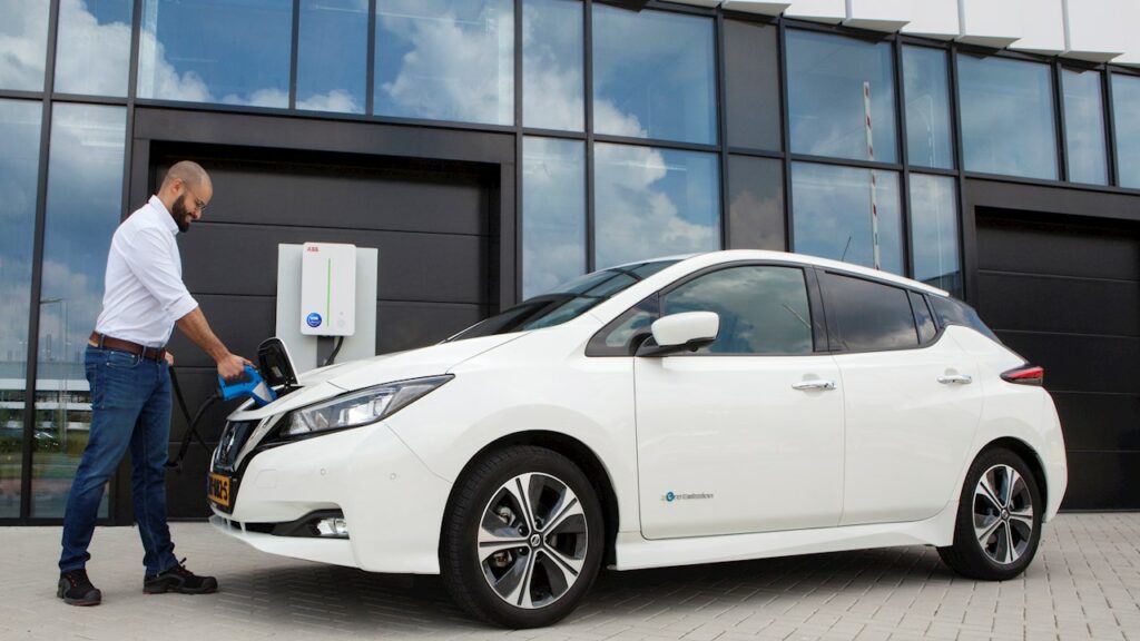
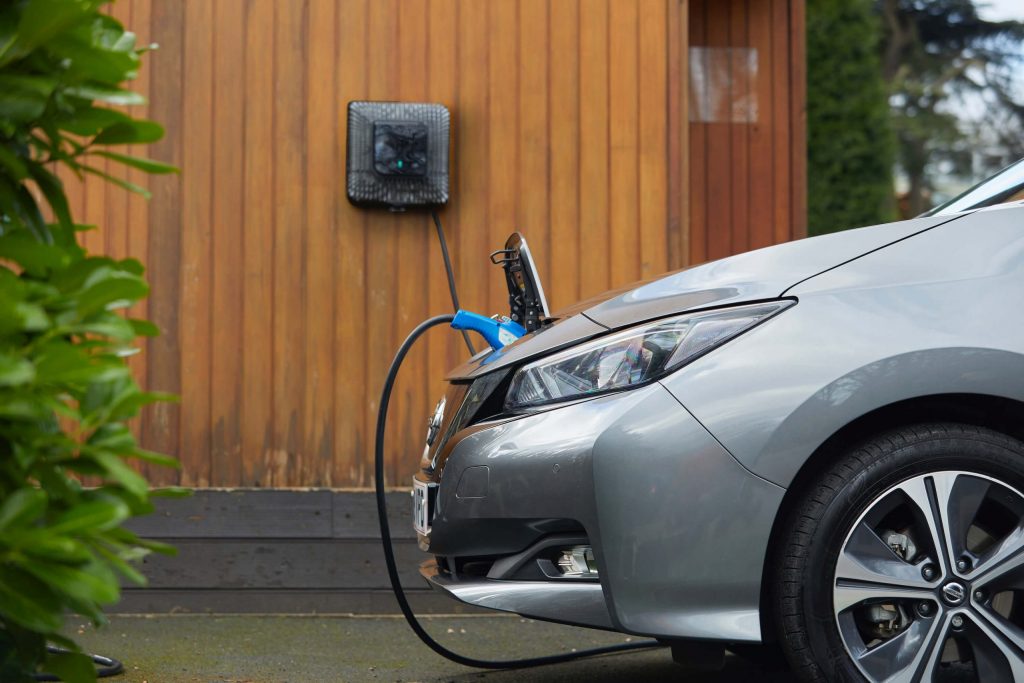
Free2Move eSolutions has the ambition to support and ease the transition to electric mobility by offering innovative and tailor-made electric solutions for both private and business actors of the value chain.
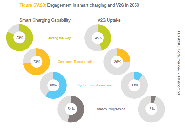
Through a digital and seamless journey across all product lines, the scope of Free2Move eSolutions activities will range from charging infrastructures (installation, servicing and operations), public and home charging subscriptions with monthly fee, to battery lifecycle management and advanced energy services such as Vehicle-to-Grid (V2G) integration and energy management solutions to reduce the total cost of vehicle ownership.
The joint venture between Stellantis and Engie EPS will simplify the access to e-mobility and will complement Free2Move current portfolio, with a new set of offers 100% dedicated to electric mobility.
Free2Move (part of the Stellantis Group) is a mobility tech company, created in 2016, whose objective is to simplify and guarantee mobility for both private and business customers with solutions adapted to all needs, anywhere and anytime from 1 hour, 1 day, to 1 month or more, via a single platform. It also provides solutions supporting energy transition and fleet management for professionals.